Nagoya Station Area Walking Map
- Nagoya Walking Map INDEXへ
- ①Tour of Nagoya Castle Town
- ②Sakae Walking Map
- ③Nagoya Station Area Walking Map
- ④Nagoya Castle Area Walking Map
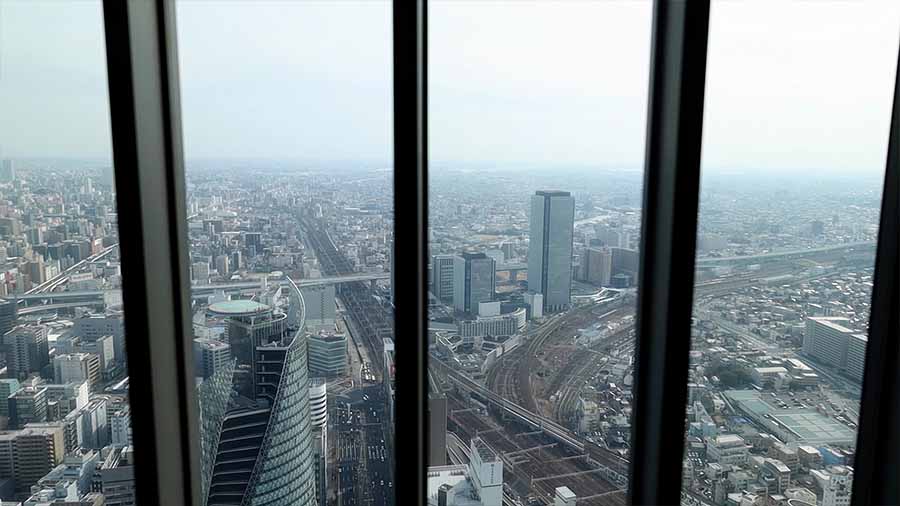
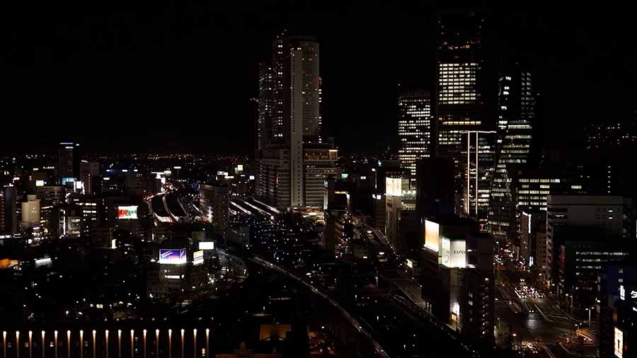
The area around Nagoya Station is being developed in preparation for the opening of the Linear Chuo Shinkansen Line.This video is presented from a pedestrian perspective using a stapilizer and drone.The spots to be introduced are the East and West exits of Nagoya Station, Sasashima Live, Sasajima, and the Sky Promenade at Midland Square.
The east side of Nagoya Station is lined with skyscrapers such as JR Central Towers and Midland Square.In addition, the Linear Chuo Shinkansen Nagoya Station is under construction on the west side of Nagoya Station.Sasashima Live is a redevelopment of approximately 12.4 hectares on the site of the former Sasajima Freight Station of Japan National Railways, and is a complex town including a hotel, commercial facilities, a university, and a broadcasting station.Sasashima is the birthplace of Nagoya Station, where the Tokaido Line Nagoya Station was built in 1886.Later, as the population of Nagoya City grew, it was moved to its current location in 1937.At the end of December 1999, JR Central Towers, attached to Nagoya Station, opened and became a pioneer in the construction of skyscrapers in the years to come.You can enjoy a panoramic view of central Nagoya from the Sky Promenade, an outdoor observation facility at Midland Square.